Mount Stuart Scramble
I've wanted to climb Mount Stuart for a few years, but after seeing a spectacular view of it
from Ingalls Lake last year I was determined to do it. Matt joined me on the climb and even though we had successfully did a couple
tough hikes earlier in the summer we we're still unsure if we could make it to the summit. We started at Esmeralda Basin north of Cle Elum
and hiked up to Long's Pass. From the pass we got a great view of the mountain along with the route which seemed a bit intimidating. We
headed down to Ingalls Creek via a steep set of switchbacks from the pass. After a short hike through the woods we reached our campsite at
the base of the Cascadian Couloir, the route we would take up.
The next morning we started at 5am with our headlamps on and a star filled sky above us. The first part through some brush and boulders
was easy, but things got tougher once we were on the couloir. The Cascadian Couloir consisted of loose dirt, rocks and boulders amongst a
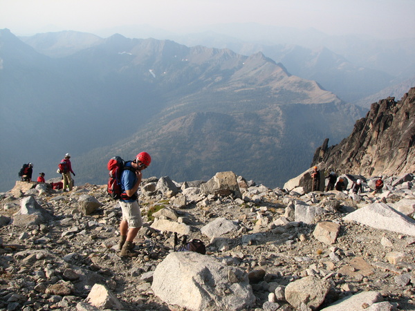
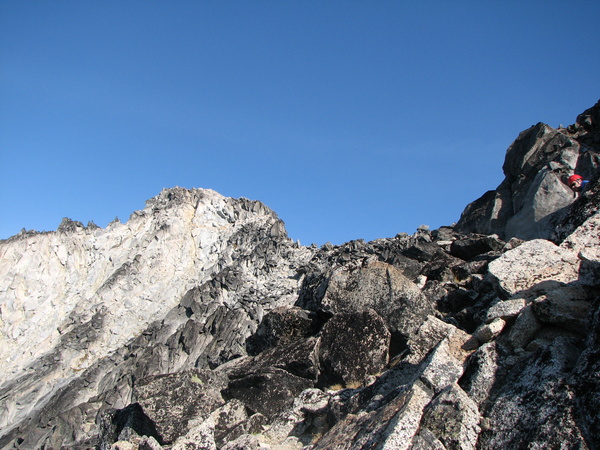
relentlessly steep slope. For a few thousand feet we climbed up the coulior and then past a boulder field to a point where we could see the
false summit. The route to the false summit got even steeper with loose rocks. This ended up being the most
difficult part of the climb, going both up and down. Normally there is a steep snow field to assend here, but we were able to avoid it as it was
late in the season. At around 100 feet below the false summit we cut across to the ridge of the true
summit. The route to the summit looked a bit hairy, but it wasn't that bad thanks to helpful cairns leading the way. The trick was go
down a bit first, traverse across a ways and then pull a few class 3 moves on some solid rock to get to the top.
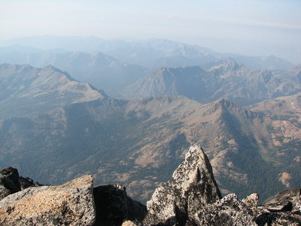
Another group got to the summit before us so it was a bit crowded on top. The views were ok, but forest fires in the area had limited the
visibility. We could see the Enchantments, Ingalls Peak/Lake and Long's Pass amongst other mountains. We had successfully summited the
peak, but the hike was far from over.
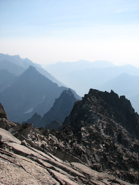
After carefully making it down the loose rock below the false summit things got easier on the way down. We did get off route briefly and had to
navigate through a maze of huge boulders. Once out of the rocks we made it down couloir and back to camp. I took a brief
rest in the tent and we were then back on the trail to Long's Pass and the zipper line of switchbacks to get to up it. Heading down
from the pass to the car was the most pleasant part of the hike though it seemed to take forever to get to the trailhead. The sun had
set behind the mountains when we reached the car, but there was still plenty of daylight.
We found the scramble up Mount Stuart to be a challenging and satisfying accomplishment. Perhaps we'll try to do it again, but one day. All we'll need
to do is carry lighter packs and be in better shape.
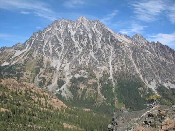
Mount Stuart from Long's Pass
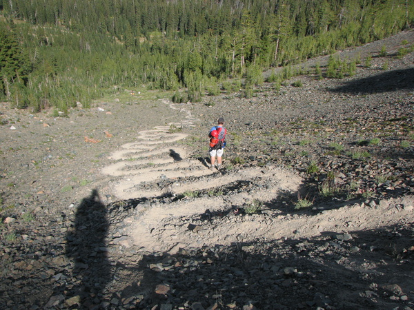
Switchbacks to Ingalls Creek
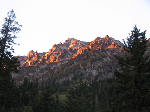
Stuart Alpenglow
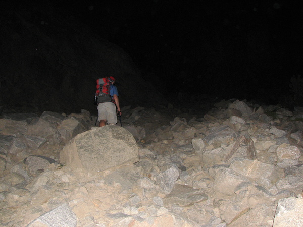
Early Start Up the Cascadian Couloir
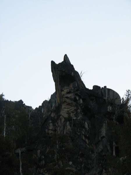
Cat Rock
Nearing the False Summit
Break Before the False Summit
Balanced Rock on Sherpa Peak
First View of True Summit
Long's Pass
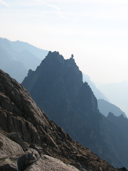
Looking Back to the False Summit
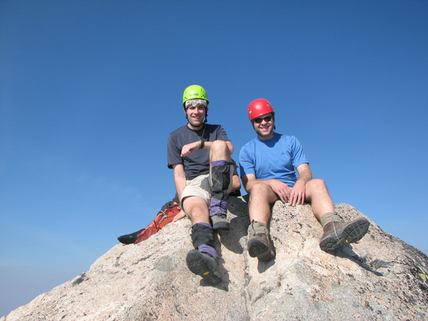
Mount Stuart Summit
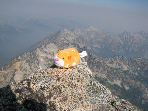
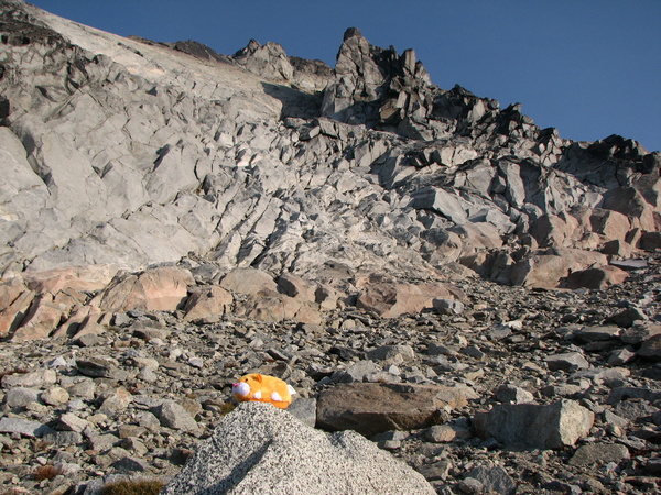
Summit Zsu Zsu Pet
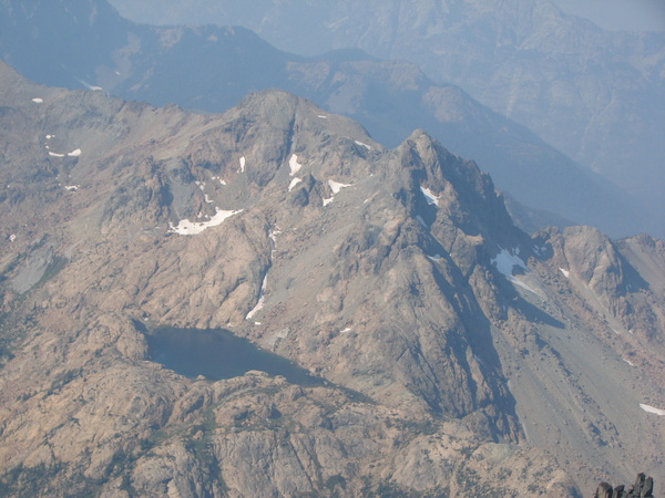
Ingalls Peak and Lake
Return to Photo Album Page
September 15-16, 2012